By WCT Conservation Research and Data Specialist Anna Willig
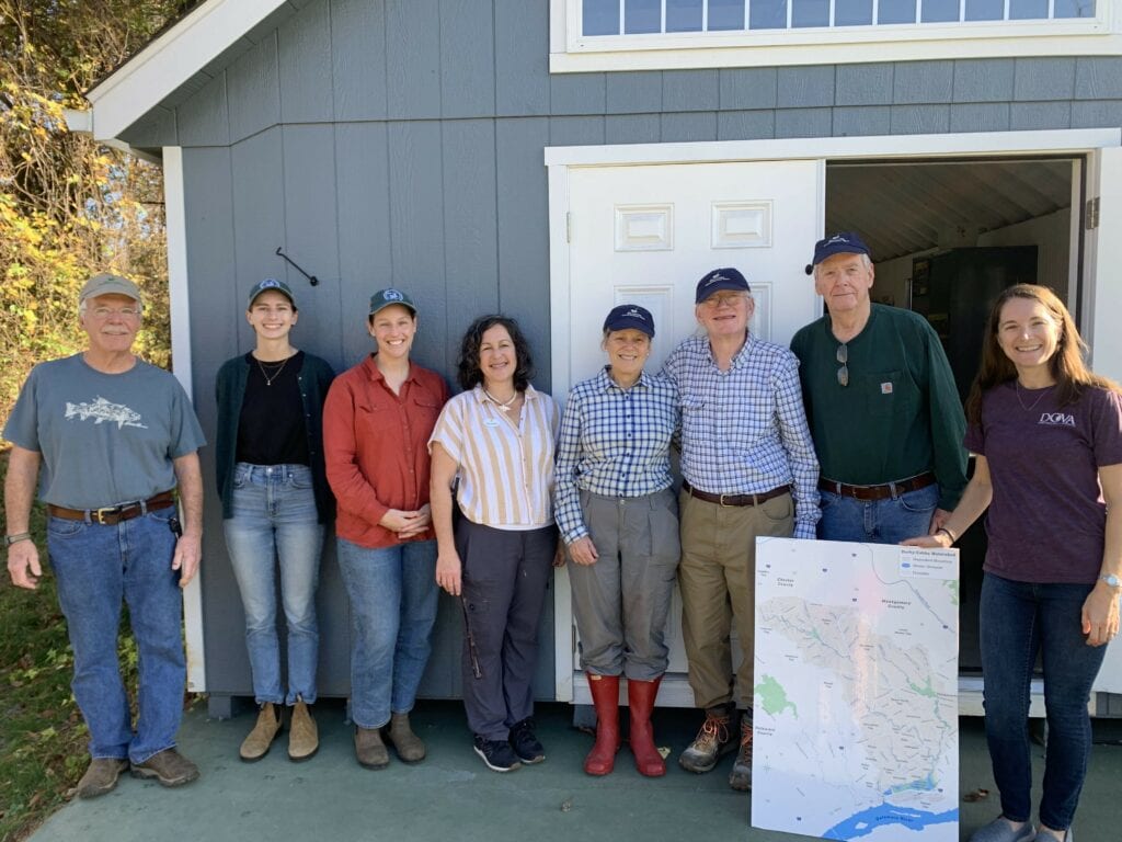
At the beginning of November, the Watershed Protection Program at Willistown Conservation Trust (WCT) partnered with the Darby Creek Valley Watershed Association (DCVA) and, together, enlisted four volunteers to conduct a sampling “blitz” in the Darby Creek Watershed. With the help of our determined volunteers, we collected samples from 19 previously unstudied sites in two hours (Map 1). Once the volunteers collected the samples, everyone met at the Upper Main Line YMCA’s Artisan Village to analyze water quality and discuss the results.

Darby Creek originates in small tributaries along the Route 30 corridor from Easttown to Ardmore which flow together as the stream makes its way towards John Heinz National Wildlife Refuge where it meets the Delaware River. Throughout its length, Darby Creek flows through many highly developed areas, picking up road salts, fertilizers, and other pollutants from lawns, parking lots, and roadways.
Despite these threats to the health of the stream, few community science studies have been completed to understand the health of Darby Creek and all of its tributaries. To shed some light on the water quality in the Darby Creek Watershed, the Darby Creek Community Science Monitoring Program was launched in 2021 in partnership with DCVA and under the scientific guidance of Stroud Water Research Center. To date, volunteers have been trained to collect high quality water chemistry data at 15 sites throughout the entire watershed every four weeks.
The sampling blitz, which covered 19 sites in the headwaters of Darby Creek, allowed us to gain even more information on water quality while controlling for weather conditions. Rain, heat, and other weather conditions can impact water quality measurements. By sampling at a single point in time, we can capture differences in water quality between sample sites rather than changes caused by time. Many of the sampling sites were located on small tributaries, allowing us to study how fine-scale differences in land use upstream of the sample site can impact water quality.
One of the goals of the sampling blitz was to understand salt pollution in the headwaters of Darby Creek. Road salts applied in the winter end up in streams as snow and ice melt and flow into the nearest waterway. Salts can build up in groundwater and soils, resulting in long-term increases in salt concentration in streams, a phenomenon known as freshwater salinization. Freshwater salinization is occurring across North America, and increases in salt concentration threaten the fish, insects, mussels, and other organisms living in streams. By measuring salt concentration in November, before winter road salts are applied, we capture baseline concentrations that reflect long-term buildup of salts in soils and groundwater.
The results of the sampling blitz indicate that salt pollution (as measured by chloride concentration) varied widely across the headwaters of Darby Creek. Chloride concentration ranged from 34 ppm to 230 ppm (Map 1). The lowest chloride concentration was measured at Site 19, a site located on Camp Run, a small tributary to Darby Creek. The area that drains into Camp Run is predominantly agricultural land, with some sections of limited residential development and forest. By contrast, chloride concentration was highest at Site 2, a site on an unnamed tributary. The land that drains into Site 2 is similar to the size of the Camp Run watershed, but is much more developed. The tributary originates near a SEPTA train station and flows under Route 30, picking up salt and contamination from residential and commercial developments. Identifying pollution hotspots, such as Site 2, can help determine areas that should be targeted for future restoration.
Map 1. Sample sites in the headwaters of Darby Creek. Each point represents the approximate location of a sample site and is colored by the chloride concentration at that site. Low chloride concentrations are represented by pale yellow, with high chloride concentrations represented by a dark red. The red box indicates the sample area.
Another indicator of water quality that volunteers measured was specific conductivity, which reflects how well electricity can move through water. Pure water is a poor conductor and has a low conductivity. As more ions are added to the water — from pollutants such as salts, fertilizers, and heavy metals — conductivity increases. Conductivity also varied greatly between sites, ranging from 325 to 967 μS/cm. While a higher conductivity indicates a higher concentration of pollutants, it does not indicate the type of pollutant. When chloride (which is an ion that increases conductivity) is compared to conductivity at each site, we found that there is a strong relationship between the two measurements (shown by the trendline), indicating that salt pollution is the biggest driver of conductivity in the headwaters of Darby Creek (Figure 1). However, there are two sites, Site 1 and Site 9, that do not quite follow the relationship. Further research is needed to understand what is driving conductivity at these sites. To learn more about conductivity, check out the State of Our Streams Report.
Figure 1. The relationship between chloride concentration and specific conductivity in the headwaters of Darby Creek. Each point represents a chloride concentration and specific conductivity measurement taken at a sample site. Points are colored by site.
The results of the snapshot survey indicate that water quality is highly variable in the headwaters of Darby Creek. Sites that drain the highly-developed Route 30 corridor, such as Site 2 and Site 5, have relatively poor water quality, while sites that drain areas with more open space, such as Site 18 and Site 19, have much better water quality. The variability in water quality within a small section of the Darby Creek Watershed highlights the deep connection between local land use and stream health. Protecting areas of open space, especially in small tributaries, is crucial to maintaining and improving water quality throughout the entire watershed.
Additionally, increasing awareness of threats to water quality, such as winter road salt application, can help to reduce the impact on local streams. To reduce road salt contamination in streams, avoid over applying salt and sweep up any salt that remains after snow and ice have melted. The salt can be reused for the next winter storm, saving money and helping improve water quality!
This snapshot survey was a pilot for a larger survey WCT, DCVA, and Stroud Water Research Center are hoping to conduct in the spring. We are deeply grateful to the Upper Main Line YMCA for hosting this event and to our fantastic volunteers who were willing and eager to explore new sections of stream to collect this data. The snapshot survey would not have been possible without our partnerships with DCVA and Stroud Water Research Center. If you are interested in joining our community science program, please contact Lauren McGrath at lbm@wctrust.org.


