Learn about the Motus Wildlife tracking system by watching this slideshow. You’ll learn about the technology, the network, and its contributions to understanding wildlife migration. Advance through the slides at your own pace by clicking the right arrow.
Moving Targets
If you’ve ever run a 10K, a marathon, or a turkey trot, you’ve probably pinned a bib to your shirt displaying your name and race number. If you’re like me, it was crooked.
Regardless, that bib helps race organizers keep track of participants: how many started, how many finished, who finished first, last, or not at all.
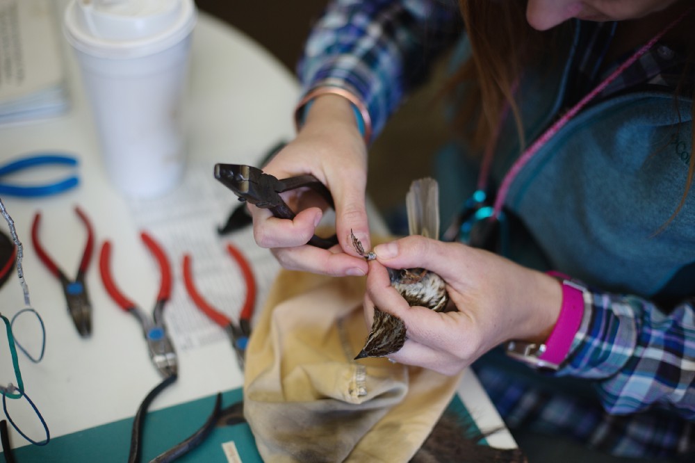
Scientists have long used a similar technique to help keep track of migratory birds. During fall and spring migration periods, ornithologists staff banding stations multiple days a week, catching birds and attaching small aluminum bands to their legs stamped with unique numbers, like tiny race bibs.
But there’s a big difference between tracking migrants and marathoners. Birds don’t have a start line, a finish line, or a marked course to follow with volunteers handing out energy gels and ringing cowbells along the way.
“After we band a bird, it could be any length of time before we see it again, if at all,” said Lucas DeGroote, Avian Research Coordinator for the Carnegie Museum of Natural History’s Powdermill Nature Reserve in Pennsylvania, which has been banding birds since 1961. “We band 10 thousand birds every year, and only about two of those are recovered elsewhere that year,” he said.
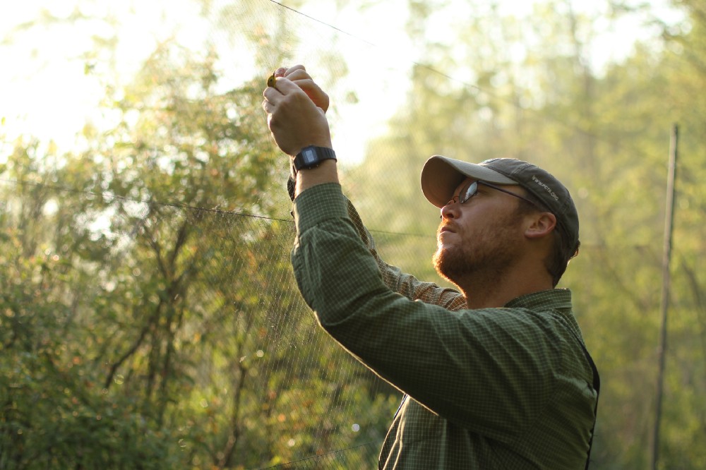
Despite the low recapture rate, banding still provides valuable information to researchers. “It gives us a snapshot of populations, and helps us understand their responses to change,” said DeGroote. Say, if you invest in improving stopover habitat at a site, banding can tell you if the total number and diversity of seasonal migrants increases in response.
But banding doesn’t tell scientists where else birds go on their migratory journey, and why.
“The life cycles of migratory birds unfold over thousands of miles,” explained Lisa Kiziuk, Director of Bird Conservation for the Willistown Conservation Trust in Pennsylvania, who launched a banding station at the trust’s Rushton Woods Preserve a decade ago. “If we want to look at where the bottlenecks are, we need to see the whole life cycle.”
Given the dramatic decline in migratory bird species in North America, identifying those pinch points will be critical to ensure that enough stopover habitat is protected in the right places to support birds during these arduous journeys.
Fortunately, partners are gaining ground with new technology that tracks birds and other species along their migratory paths, wherever they may take them.
With support from the U.S. Fish and Wildlife Service, the Pennsylvania Game Commission is leading a collaborative of two states and eight organizations to close a major geographic gap in the Motus Wildlife Tracking System, which uses nanotag transmitters and an array of radio telemetry receivers to study migratory routes and behaviors.
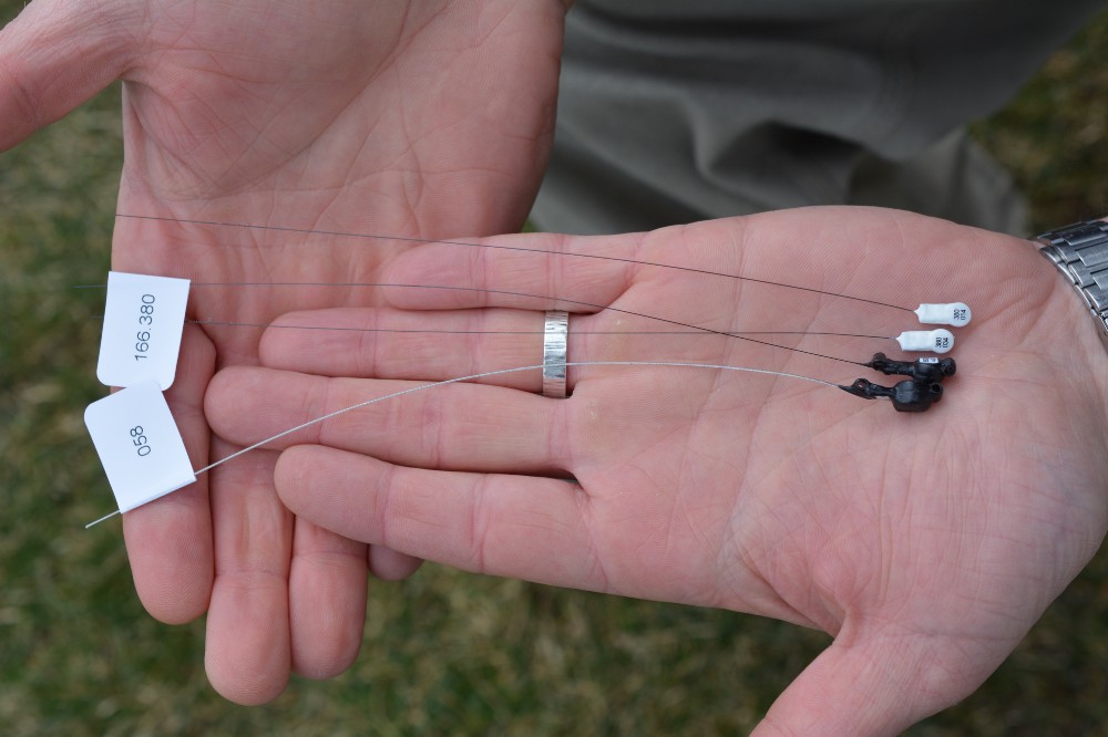
Part of the Northeast Motus Collaboration, the partners have been awarded a state wildlife grant to install 50 new receiver stations across New England — adding to the 46 being installed in the Mid-Atlantic states — all sited strategically to provide maximum coverage of key stopover locations based on NEXRAD radar data. The funding guarantees that the towers will be in place for at least five years, an important warranty for researchers who often need a year or two just to set up a study.
“Within the next decade, the entire region will be populated with stations listening for tags from wherever they’ve been deployed,” said Kiziuk, who is helping to lead the effort.
There will soon be a lot more to hear. While radio telemetry is not new in wildlife tracking, its use has traditionally been restricted to relatively large animals that can carry heavy transmitters, like hawks, snakes, and bobcats.
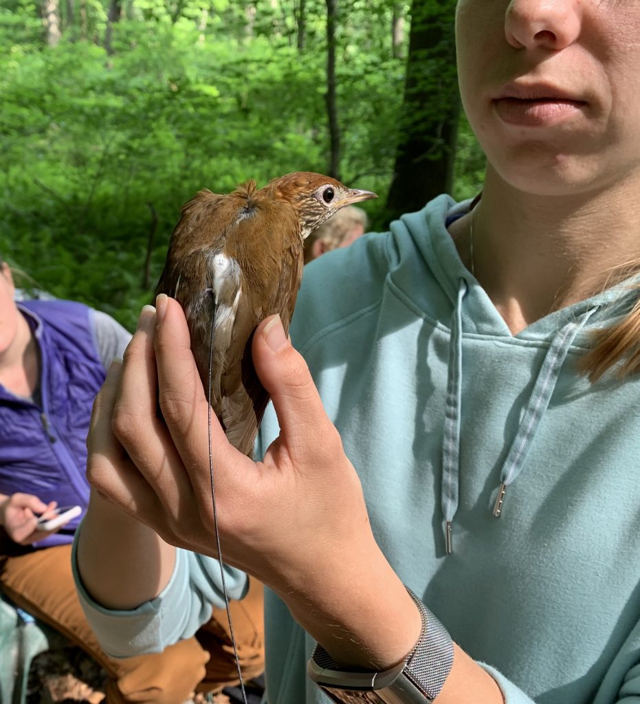
The nanotags deployed through Motus can be used on smaller species than ever, like the northern long-eared bat, Bicknell’s thrush, and even monarch butterflies.
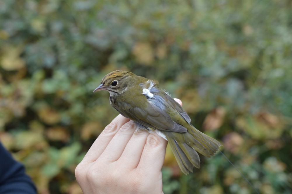
“Each tag weighs less than three percent of the weight of the animal,” Kiziuk said. The tags can emit radio signals at distinct time intervals, like a Morse code signal identifying each individual.
Partners have already seen significant returns on investment. DeGroote said two-thirds of birds that have been nano-tagged in the project have been detected by towers, which are aligned latitudinally at specific intervals so they will pick up any individuals flying north or south across the region — sort of a proxy for runners crossing a start or finish line. “It’s a much better payoff in terms of detection while birds are moving,” he said.
That data on individual movement is a valuable complement to the population data that banding provides. Compare it to a race: If you are the director of a marathon, you want to know about how many people you can expect to register each year. But you also want to know how long it will take runners of varying skill levels to complete the course so you keep the roads blocked off for enough time, and you want to know where the toughest hills are so you can station volunteers at the top with energy gels and cowbells.
“Motus allows us to ask different questions by tracking individuals, and individual decisions, at different times,” DeGroote said. Questions that can help researchers address specific challenges birds face during migration, including one of the deadliest: One billion birds die each year because they fly into windows, disoriented by the reflection of the sky in the glass.
But what happens to the ones that get back on their feet?
“That’s where Motus comes in,” DeGroote said. “We can now track individuals that hit windows and survive to see what happens to them over time.”
His organization has equipped programs that respond to bird strikes in urban areas, like Lights out Baltimore, with nanotags to put on birds that are brought to rehabilitation centers after hitting windows, so they can monitor their survival and behavior when they are released back into the wild.
Dan Brauning, Wildlife Diversity Chief for Pennsylvania Game Commission and the grant project lead, explained that the ability to monitor individual birds lets us fine-tune how we measure this problem, and how best to respond. “As of now, the estimates of the impacts of collisions are based on finding dead birds,” he said. Those estimates don’t account for impacts to birds that take off and die later, or fly in the wrong direction because they are concussed.
“Motus can help us understand how big the problem really is, and the relative threat it poses to different species,” Brauning said. That applies to other problems too. By connecting the dots between threats and responses across time and space, managers can see where they need to act to address problems on the ground.
Just as important, Motus connects the dots between people who care about these problems, and empowers them to make decisions that reflect the landscape-level needs of migratory species.
Through the interactive map on the Motus website, participants can see the receiving stations, who owns them, and what species have been detected at each one. They can also see the conservation potential of having this regional data available at their fingertips.
“It shows what can be accomplished with a diverse group of people working together,” Kiziuk.
“Information is getting out there faster than ever, and can that can help us make better conservation decisions more efficiently,” she explained.
Ultimately, the effort to recover migratory species is not a sprint. It’s a relay between partners over thousands of miles, and collaboration is key to victory. Cowbells can’t hurt, though.
by Bridget Macdonald, U.S. Fish and Wildlife Service, North Atlantic-Appalachian Region
U.S. Fish & Wildlife Provides Grant to Track Species of Greatest Concern in Northeast
WILLISTOWN, PA (APRIL 20, 2020) — A major grant from the U.S. Fish and Wildlife Service (USFWS) will enable a research partnership that includes the Willistown Conservation Trust in Chester County, Pennsylvania, along with a number of state agencies and nonprofit organizations, to dramatically expand a revolutionary new migration tracking system across New York and New England.
The grant, totaling $998,000, has been awarded to a partnership led in part by the Northeast Motus Collaboration (northeastmotus.com), which includes the Willistown Conservation Trust; the Ned Smith Center for Nature and Art in Dauphin County; Project Owlnet, a nationwide cooperative research initiative; and the Carnegie Museum of Natural History’s Powdermill Nature Reserve in Westmoreland County.
The New Hampshire Fish and Game Department is the lead agency, along with the Pennsylvania Game Commission, Massachusetts Department of Fish and Game, and the Maine Department of Inland Fisheries and Wildlife. Other partners include New Hampshire Audubon, Massachusetts Audubon and Maine Audubon.
The grant will allow the partners to establish 50 automated telemetry receiver stations in New York, Massachusetts, Connecticut, Vermont, Rhode Island, New Hampshire and Maine. These receivers will track the movements of bird, bats and even large insects tagged with tiny radio transmitters called nanotags — so named because they are tiny enough to be placed on migrating animals as small as monarch butterflies and dragonflies. The receiver array will be part of the rapidly expanding Motus Wildlife Tracking System (motus.org), established in 2013 by Bird Studies Canada, which already includes nearly 900 such stations around the world.
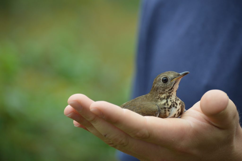
Together, the combination of highly miniaturized transmitters — some weighing just 1/200th of an ounce — and a growing global receiver array allows scientists to track migrants previously too small and delicate to tag with traditional transmitters, like a gray-cheeked thrush that made a remarkable 46-hour, 2,200-mile non-stop flight from Colombia to Ontario.
This is the second major USFWS grant for Motus expansion that the Northeast Motus Collaboration has received. In 2018, the agency awarded the collaboration about $500,000 to build 46 receiver stations in Maryland, Delaware, New Jersey, Pennsylvania and New York. The collaboration had already constructed a 20-receiver array across Pennsylvania in 2017 using private, foundation and state grant funds.
Besides significantly increasing the telemetry infrastructure across the Northeast, this new USFWS grant specifically targets several species of greatest conservation need in New England. Research collaborators will use nanotag transmitters to study the migration routes, timing and behavior of American kestrels, the region’s smallest falcon and a bird that has experienced drastic and largely unexplained declines across New England.
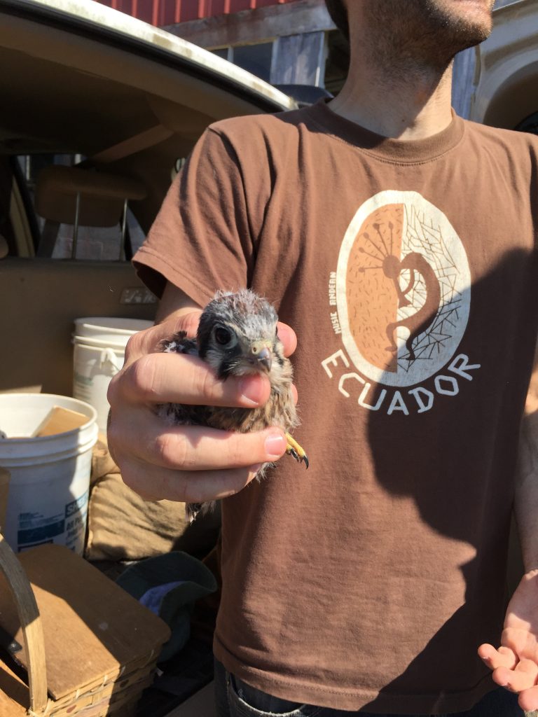
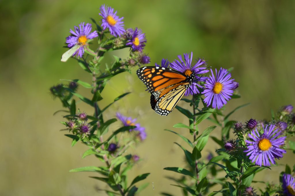
Other scientists will use the smallest nanotags to track the movements of monarch butterflies from the region, which have also suffered large population declines, but about whose migration little is known. The tracking information will help conservation agencies map the best areas to target for land conservation and habitat improvement, like encouraging the planting of milkweed for monarch caterpillars. Finally, researchers will also conduct testing to better understand the detection limits of newly developed versions of this new technology.

While the grant focuses on a few target species, the value of the expanded receiver network has much broader implications. Any nanotagged animal that flies within nine or 10 miles of any of the receivers will be automatically tracked.
“Conservationists are rightly concerned about kestrels and monarch butterflies, and the work funded by this grant that may give us answers that allow us to reverse their declines,” said Lisa Kiziuk, director of bird conservation for the Willistown Conservation Trust. “But by greatly expanding the overall Motus network, the grant will also provide scientists and resource agencies with a treasure-trove of information on dozens of other migratory species, from at-risk songbirds like Bicknell’s thrush and rusty blackbirds to rare bats that travel through the Northeast, and about whose movements we know little or nothing.”
“For me, this project is important because never before have we had the technology to see intimate details of an individual species’ migratory pathway in this way,” said Doug Bechtel, president of New Hampshire Audubon. “Motus technology and this particularly dense array that will be constructed in New England, especially in conjunction with the expansion in the mid-Atlantic states, will enable conservation organizations, industry leaders and legislative decision-makers to see how habitats are being used on a landscape level and make associated conservation decisions based on near real-time data.”
CONTACT INFORMATION
Lisa Kiziuk, Director of Bird Conservation, Willistown Conservation Trust. 610-331-5072, lkr@wctrust.org.
Scott Weidensaul, Northeast Motus Collaboration. 570-294-2335 (cell), scottweidensaul@verizon.net.
Willistown Conservation Trust, located in Chester County PA, is a land trust focused on preserving open space and habitat protection in the Willistown area. The Trust’s Bird Conservation team has operated the Rushton Woods Bird Banding Station since 2007, and has been a lead partner in the Northeast Motus Collaboration to save migrating bird species since its inception in 2016.
U.S. FISH & WILDLIFE PROVIDES GRANT TO TRACK BIRD SPECIES OF GREATEST CONCERN IN MID-ATLANTIC REGION
WILLISTOWN, PENNSYLVANIA (Sept. 21, 2018) — A research collaboration led by the Willistown Conservation Trust, in partnership with several state agencies and nonprofits, received a $500,000 grant from the U.S. Fish and Wildlife Service (USFWS) to dramatically expand a new migration tracking system across a five-state area.
The grant, awarded through the Pennsylvania Game Commission and Maryland Department of Natural Resources, will be administered by the Willistown Conservation Trust in Chester County on behalf of the Northeast Motus Collaboration (northeastmotus.com), a partnership of the Willistown Conservation Trust; the Ned Smith Center for Nature and Art; Project Owlnet; and the Carnegie Museum of Natural History’s Powdermill Nature Reserve.
Funding will establish 46 additional telemetry receiver stations in New York, Pennsylvania, Maryland, New Jersey and Delaware, to enhance 30 placed in Pennsylvania over the past two years. The receiver array will be part of the rapidly expanding Motus Wildlife Tracking System (motus.org) which includes more than 500 stations worldwide.
The grant will be used to study eight species of greatest conservation need in the Mid-Atlantic Region: Bicknell’s, Swainson’s, wood thrushes; blackpoll and Canada warblers; rusty blackbirds; American woodcock; and northern myotis bats.
The Motus technology allows scientists to track migrants too small to tag with traditional transmitters, like a gray-cheeked thrush that made a remarkable 46-hour, 2,200-mile flight from Colombia to Ontario.
“This project embodies contemporary wildlife conservation: state and federal government agencies working with private conservation organizations and universities to help species that demand more attention than traditional wildlife management can provide,” explained Pennsylvania Game Commission director, Bryan Burhans. “The agency is indebted to partner organizations, such as the Willistown Conservation Trust and the Ned Smith Center, for their commitment to wildlife. Today, conservation counts on partners more than ever before.”
This network was funded by private donors as well as grants from the Pennsylvania Department of Conservation and Natural Resources and the Richard King Mellon Foundation.
CONTACT Lisa Kiziuk, Willistown Conservation Trust. 610-331-5072, lkr@wctrust.org.
Willistown Conservation Trust, located in Chester County PA, is a land trust focused on preserving open space and habitat protection in the Willistown area. The Trust’s Bird Conservation team has operated the Rushton Woods Bird Banding Station since 2007, and has been a lead partner in the Northeast Motus Collaboration to save migrating bird species since its inception in 2016.”
Migration Mystery
First State-wide Motus Array Will Help Provide Some Answers
The Northeast Motus Collaboration (NMC) is a partnership that was organized to fill a gap of Motus receiver stations in the Northeastern United States. The NMC is comprised of Willistown Conservation Trust, the Ned Smith Center for Nature and Art In Dauphin county, and Project Owlnet, headed by Lisa Kiziuk, David Brinker, and Scott Weidensaul respectively.
Fueled by an unparalleled passion for birds, a remarkable team assembled by the NMC completed the first state-wide array of receiver stations in Pennsylvania this past July, constructing 18 towers in 17 days. The network promises new hope for scientists who are working to save declining bird populations. And now that the state-wide array is in place, conservationists, students, and citizens can look forward to a plethora of eye-opening new data about where and which species are migrating through Pennsylvania. The information will help both bird and land conservation organizations like the Trust learn which places are most critical for birds’ survival and most worthy of protection.
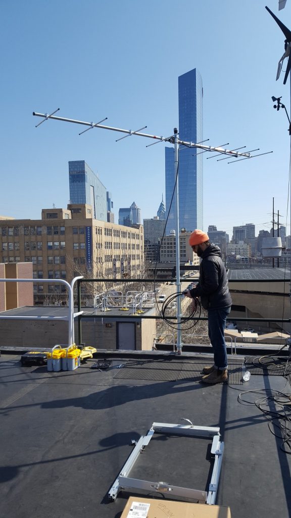
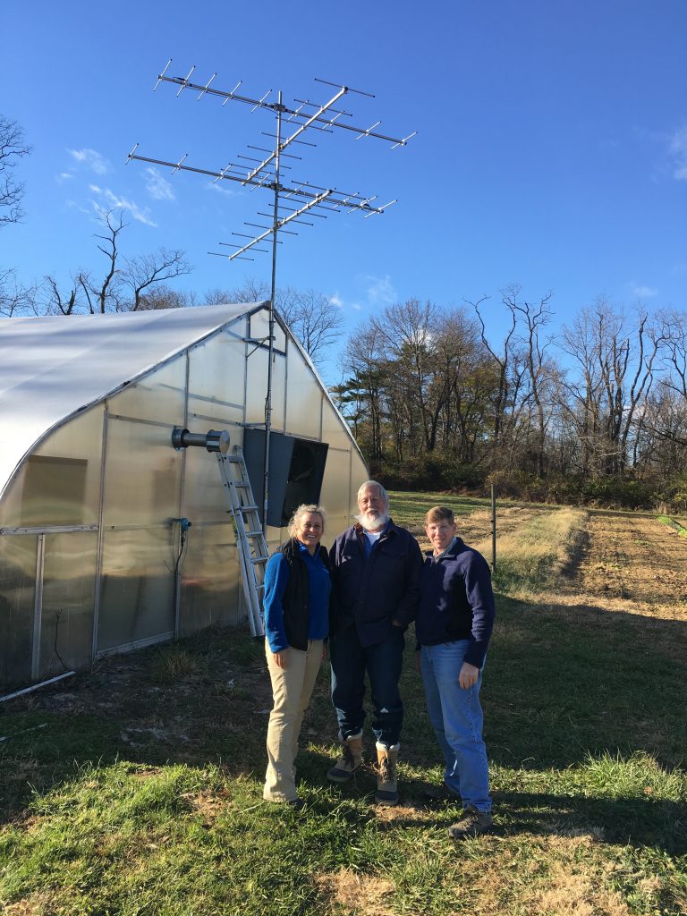
The team’s response to the challenges presented by the installation of the towers is an extraordinary story of resilience, persistence, technical problem-solving ability, and physical endurance. Each tower had its own unique set of challenges, as the different installation sites included fire towers, rooftops, mountain tops, meadows, a greenhouse, and a cell phone tower. The installation tested the team’s mechanical, electrical, computing, solar, and crane-renting skills, just to name a few.
The project began with hundreds of deliveries from Amazon arriving at the Trust’s office almost daily beginning in June. All of the pieces and parts for the 18 towers were gathered in the tractor shed at Rushton Farm where the team began sorting through the labyrinth of boxes and crates and mapping out their plan of attack across the state of Pennsylvania. “As prepared as we thought we were, almost every tower required some piece of hardware that we did not already have in our kit,” shares Todd Alleger, one of the members of the technical team. “From bedrock to soft soils, we saw every site condition imaginable, and now we are experts in installing a tower using something appropriately called a duckbill anchor,” reports Alison Fetterman, the team’s project coordinator.
Viewing tools and applications that display the data gathered at Motus receiver stations are continuing to evolve, and we look forward to sharing them via our website as soon as they become available. In the meantime, visit motus.org and zoom in on the Motus Network map and Explore Data/View Tracks sections to see some of the migration data gathered to date.
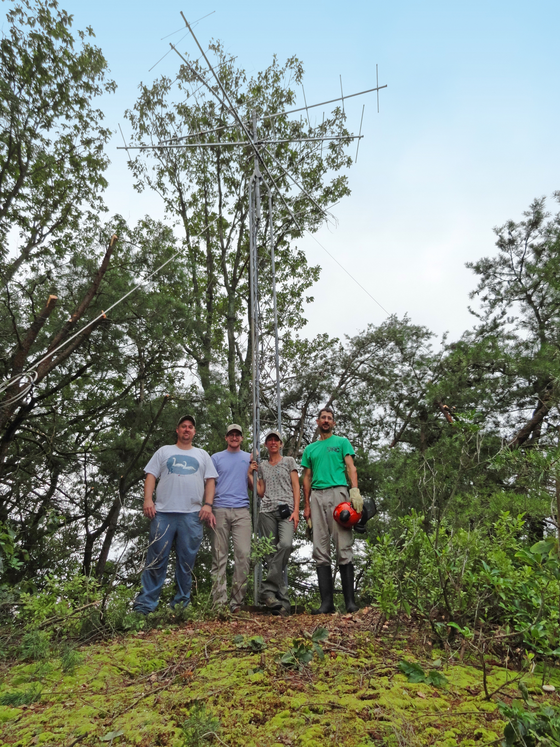 Ross Wood (Bird Studies Canada), Jon Rice (Carnegie Museum of Natural History), and Alison Fetterman (Willistown Conservation Trust) pose with landowner Jay Drasher alongside the newly erected tower installed at Neversink Mountain Preserve in Berks County.
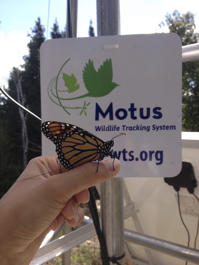
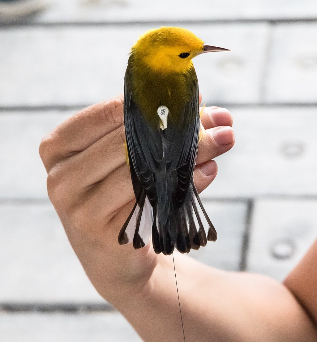 Motus technology employs a miniaturized radio transmitter that is attached to a bird’s back. The transmitter emits a pulse that is picked up by any Motus receiver station near where the bird flies. Motus provides bird migration data that is shared with major bird research facilities globally.
